Summary
April 15, 1864. Steele's army occupied Camden, and he began sending out troops to seek supplies in the surrounding area.
The Route
▷ We previously visited Poison Spring and made our way to Camden, which is our starting point.
▷ Arkansas 24 at Arkansas 278 and Arkansas 278B/Washington Street, Camden ARBear left to follow US 278B/Washington Street for 2.0 miles into Camden.
▷ McCollum-Chidester House and Museum, 926 West Washington St, Camden ARContinue east on Washington Street for 0.6 mile.
▷ US278/West Washington Street at California Avenue NW, Camden ARAt the church, stay on US 278B by turning right (southward) at California Avenue NW for about 150 feet.
▷ California Avenue SW at US 79 N/W Washington Street, Camden ARTurn left (eastward) onto US 79 North/W Washington Street for 0.3 mile (about 4 blocks). Continue straight (eastward) on W Washington Street when US 79 turns left. Adams Street is the next block.
▷ US 79N/W Washington Street at N Adams Avenue, Camden ARTurn left (north) onto N Adams Avenue for one block.
▷ N Adams Avenue at Van Buren Street NE/US 79BTurn right (eastward) onto Van Buren Street NE/US 79B for 0.3 miles.
▷ Van Buren Street NE at East Washington Street, Camden ARUS 79B/Van Buren Street NE turns left (northerly) to merge with East Washington Street. Continue 0.3 mile.
▷ Sandy Beach ParkContinue along US79B another 0.4 miles, using the Ben Laney Bridge to cross the Ouachita River.
▷ US 79B at Arkansas 7, just east of the Ben Laney Bridge, Camden ARTurn left onto Arkansas 7. Immediately on the left is access to the Ouachita River with about 0.3 mile of access road.
▷ Ouachita River Access, Camden ARUse the access road to turn around and go back to US 79B.
▷ Arkansas 7 at US 79B, just east of the Ben Laney Bridge, Camden ARTurn right (westward) onto US 79B and follow it 1 mile back into Camden, bearing right onto Van Buren Street.
▷ Van Buren St NE at Monroe AvenueTurn right (northward) onto Monroe Avenue for 0.8 miles.
▷ Fort Lookout/Redoubt A, Monroe Street at Rogers Street SW, Camden ARThe marker on the left (northwest corner) describes "Fort Lookout" or "Redoubt A". Turn left (westward) onto Rogers Street SW for 0.3 mile. Caution: Private Property, Do Not Access: The steep drive up the tree-covered side of the hill leads to the vantage point overlooking the Ouachita River. It's a residence owned by the McCollum-Chidester House Museum.
▷ Rogers Street NW at Gravel Pit Road NW/Henry Wesley, Sr Drive NW, Camden ARTurn left onto Gravel Pit Road NW/Henry Wesley, Sr Drive NW for 0.2 mile.
▷ Gravel Pit Road/Henry Wesley, Sr Drive NW at Maul Rd NW, Camden ARTurn left (southeastward) onto Maul Rd NW and travel 350 feet to the next intersection.
▷ Maul Road at Greenwood Avenue NW, Camden ARTurn right onto Greenwood Avenue NW. Immediately to the right on the southwest corner of the intersection is the site of a marker for Redoubt B. Redoubt B is located on the ridge in what is now the higher portion of the Greenwood Cemetery. Continue southward on Greenwood Avenue NW to the corner of the cemetery at Vanderbilt.
▷ Greenwood Avenue NW at Vanderbilt, Camden ARTurn right (west) onto Vanderbilt for one block.
▷ Vanderbilt at Cleveland Avenue NW, Camden ARTurn left (south) onto Cleveland Avenue NW for about 1/3 mile to McCullough St. NW.
▷ Cleveland Avenue NW at McCullough Street NWThe Redoubt C marker is at this intersection. Return to the Greenwood Cemetery and Maul Road.
▷ Greenwood Cemetery NW at Maul Road, Camden ARTurn right onto Maul Road for 0.2 mile.
▷ Confederate Cemetery, Maul Road NW at Spring Avenue NW, Camden ARConfederate Cemetery is on the left (north side). Continue southeastward on Maul Road another 0.2 miles.
▷ Oakland Cemtery, Maul Road NW, Camden AROakland Cemetery is on the left (north side). Continue on Maul Road onto N Adams Avenue for 0.2 mile.
▷ N Adams Avenue at Hildreth Street NW, Camden ARThe Civil War Sesquicentennial Marker is near Williams Funeral Home on North Adams. Continue on Adams Avenue for 0.4 mile.
▷ N Adams Ave at Washington Street, Camden ARTurn right (west) onto Washington Street for 0.3 mile.
▷ W Washington Street at California Avenue NW, Camden ARJust past the post office, turn left (south) onto California Avenue SW for three blocks (0.2 mile).
▷ Powell-Dietrich House, 305 California, Camden ARThe Powell-Dietrich House is at 305 California (on the left, east side). Continue on California Ave SW for about 500 feet (0.1 mile).
▷ California Avenue SW at Willow Street SW, Camden ARThe marker for "Fort Southerland" or "Redoubt D" is at the street, near Walgreen Pharmacy. Continue on California Avenue SW another 500 feet (0.1 mile).
▷ California Avenue SW at Grinstead Street SW, Camden ARTurn left (eastward) onto East Grinstead Street for 1.2 miles (curves right to the south about halfway).
▷ Grinstead Street SW at Bradley Ferry Road, Camden ARTurn left (southeastward) on Bradley Ferry Road for 150 feet to Progress Street.
▷ Bradley Ferry Road at Progress Street, Camden ARAt the corner of Fort Southerland Park is the "Fort Diamond" or "Redoubt E" marker. Travel eastward on Bradley Ferry Road about 650 feet (0.15 mile) to U.S. 79.
▷ Bradley Ferry Road at US 79, Camden ARArrive at US 79.
▷ This brings us ready to proceed toward the next point of interest, Marks' Mill.
Google Maps
Show my location on map
At the popup, you must allow your web brower (not us) to know your location.
Your location should update every 5 seconds.
This brings us ready to proceed toward the next point of interest, Marks' Mill.
Camden
A river town located on bluffs above the Ouachita River, Camden was situated on the upper reaches of the navigable stretches of the Ouachita. It was a hub for steamboats transporting cotton out of the region and supplies for merchants, farmers and planters into the region. Arkansas, along with Louisiana and Texas, was part of the Southwest Cotton Frontier. Between the 1850 and 1860 census, the population of Arkansas -- both the Free White population and the enslaved Black population -- increased two and a half times as settlers poured in to make their fortunes from cotton. By the time of the Civil War and the 1864 Camden Expedition, Camden with a population of 2,000 was the second largest city in the state. As the Union Army moved back into Arkansas in 1863 and 1864, General Kirby Smith, the Confederate Trans-Mississippi commander, ordered the fortification of Camden to deter an invasion aimed at Shreveport, Louisiana, his headquarters on the Red River. Fearing that Steele's forces were headed to the Confederate capital at Washington, Arkansas, General Sterling Price and his officers had rushed to guard the road to Washington, leaving the way to Camden open. The Union army quickly moved toward Camden and skirmished with the remaining Confederates guarding the city. Knowing they could not repel Steele's men, these forces retreated to the south, and Steele's army entered Camden on April 15, 1864.
McCollum-Chidester House Museum
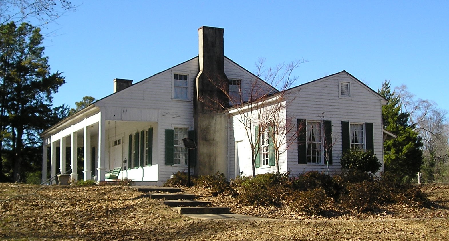
General Steele established his headquarters at the McCollum-Chidester House, then the home of John T. Chidester, a mail contractor and head of a stagecoach line in the region. Peter McCollum (1804-1870) had built the house in 1847 of materials brought in from New Orleans. A native of North Carolina who had lived and worked in Alabama and Mississippi before coming to Arkansas, McCollum was an early Camden merchant who was apparently doing well. In 1858 he sold the house to J. T. Chidester. A native of Cooperstown, New York, Chidester (1816-1892) had also lived and worked in Alabama and Mississippi before coming to Arkansas and established a successful stagecoach line and mail contracting business in Camden. During the Camden Expedition he was suspected of spying on the Union Army for the Confederacy and had to flee to Texas for the duration of the Civil War.
Photo by Peggy Lloyd
McCollum-Chidester House Museum
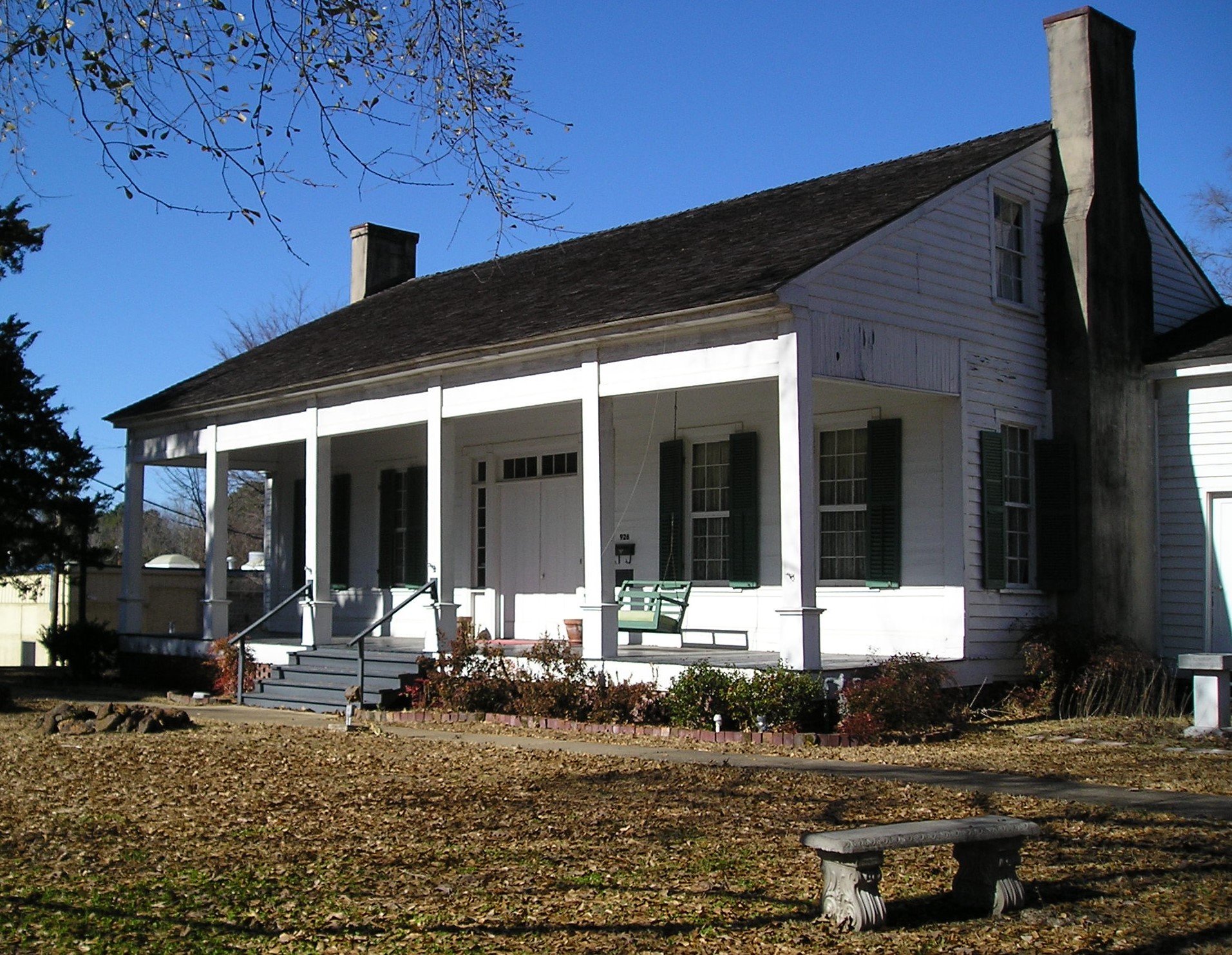
The house remained in the Chidester family until 1963. The Ouachita County Historical Society purchased it, and it became the McCollum-Chidester House Museum. Many items belonging to the Chidester family remained in the house. The museum is open from 9 AM to 4 PM, Wed. to Fri. and closed from Sat. to Tues. It is on the National Register of Historic Places. Additional information on Civil War sites in and around Camden is available there. Despite hopes of finding ample food in Camden, General Steele still found supplies difficult to obtain. He sent out the foraging party to White Oak Creek to get what they could within two days of his army's arrival in Camden and learned of its disaster while still staying at the Chidester home.
Photo by Peggy Lloyd
Elliott-Meek House
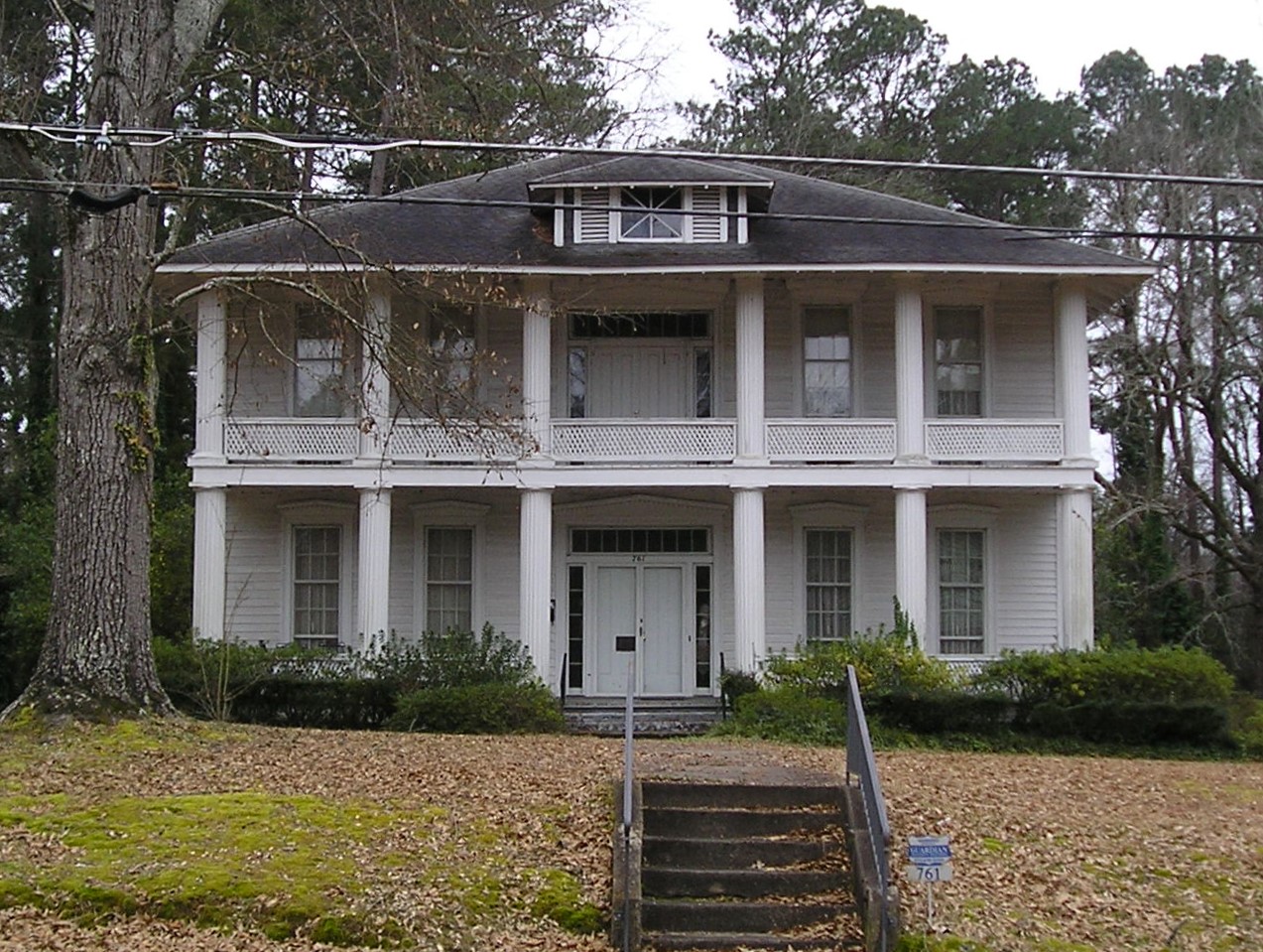
Not far away on the opposite side of the street is the Elliott-Meek House at 761 Washington. Union Brigadier General Frederick C. Salomon of the Wisconsin Volunteers stayed in this 1857 Greek Revival house during his time in Camden. It too is on the National Register of Historic Places.
Photo by Peggy Lloyd
Graham-Gaughan-Betts House
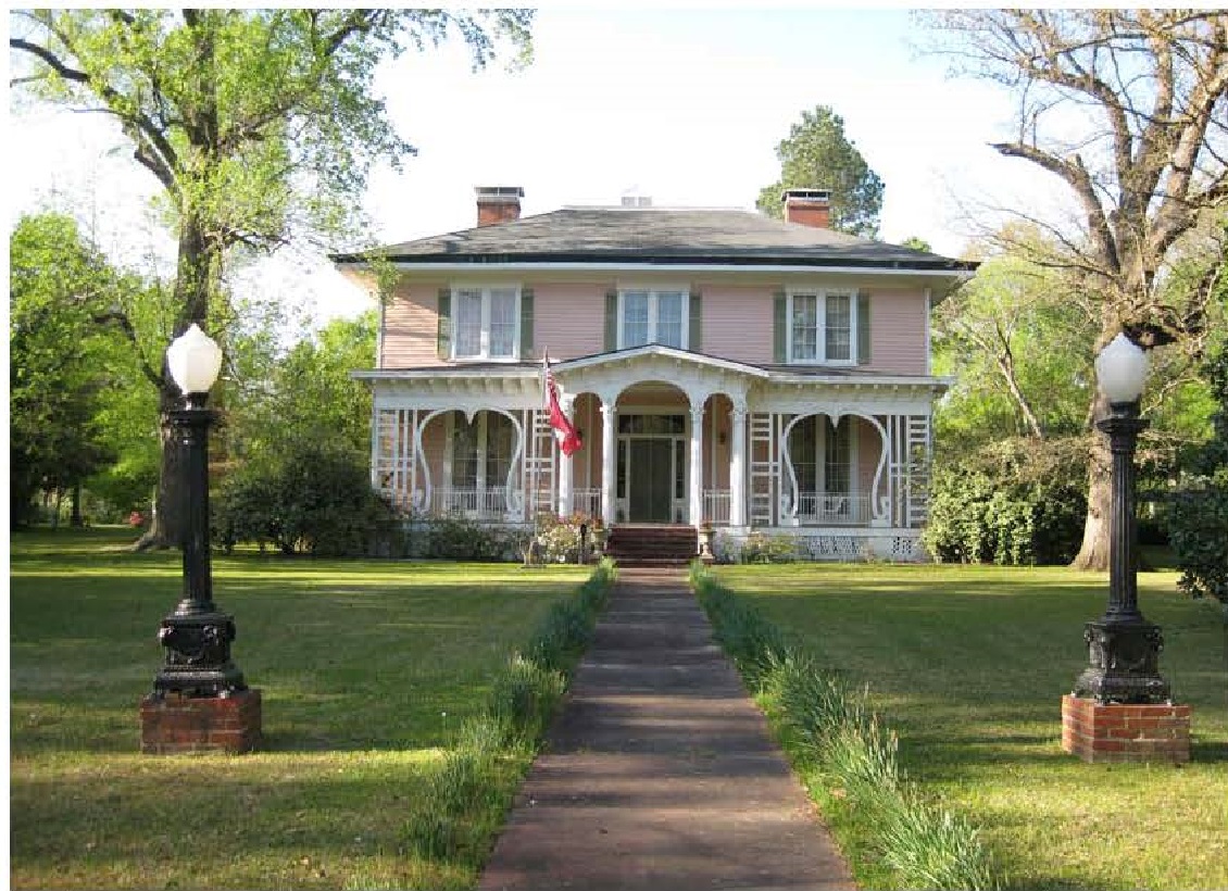
After five days at the Chidester house, Steele moved to the nearby Graham House at 710 Washington St. The house was built in 1858 by Major Joseph M. Graham, a substantial landowner in the region. It is notable for the elaborate porch on the front of the house and for the fine woodwork in the interior. Now known as the Graham-Gaughan-Betts House, it was purchased by Thomas Joseph Gaughan, a Camden lawyer, in 1899 and by the Betts family in 1973. It is on the National Register of Historic Places.
Photo by George Betts of Camden
The Ben Laney Bridge over the Ouachita River
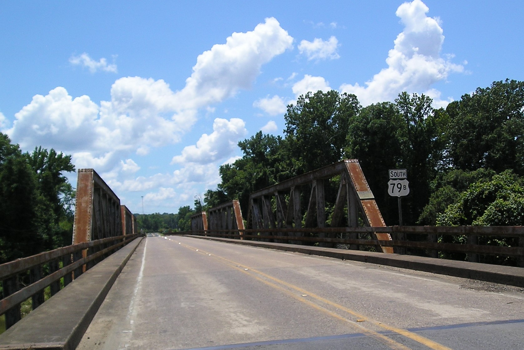
The Ben Laney Bridge over the Ouachita River in northern Camden was completed in 1947. It replaced an earlier bridge built in 1909 that was in ill repair and had become too narrow for the increased flow of traffic. The bridge contains three steel Pratt pony trusses. It was nominated to the National Register of Historic Places in 2000 and still remains in use today. The Ben Laney Bridge was named for Benjamin Travis Laney (1896-1977), a native of Ouachita County and a prominent Camden businessman. Laney served as mayor of Camden from 1935 to 1939 and was serving as Governor of Arkansas in the period when construction began on the bridge and when it was finally completed in 1947 after a post-World War II delay in the availability of steel. The more modern bridge which the Byway will use to cross the river in southern Camden on U. S. Highway 79 after the tour of Civil War sites in the city was built in 1976.
Photo by Peggy Lloyd
The Ouachita River just north of the Ben Laney Bridge
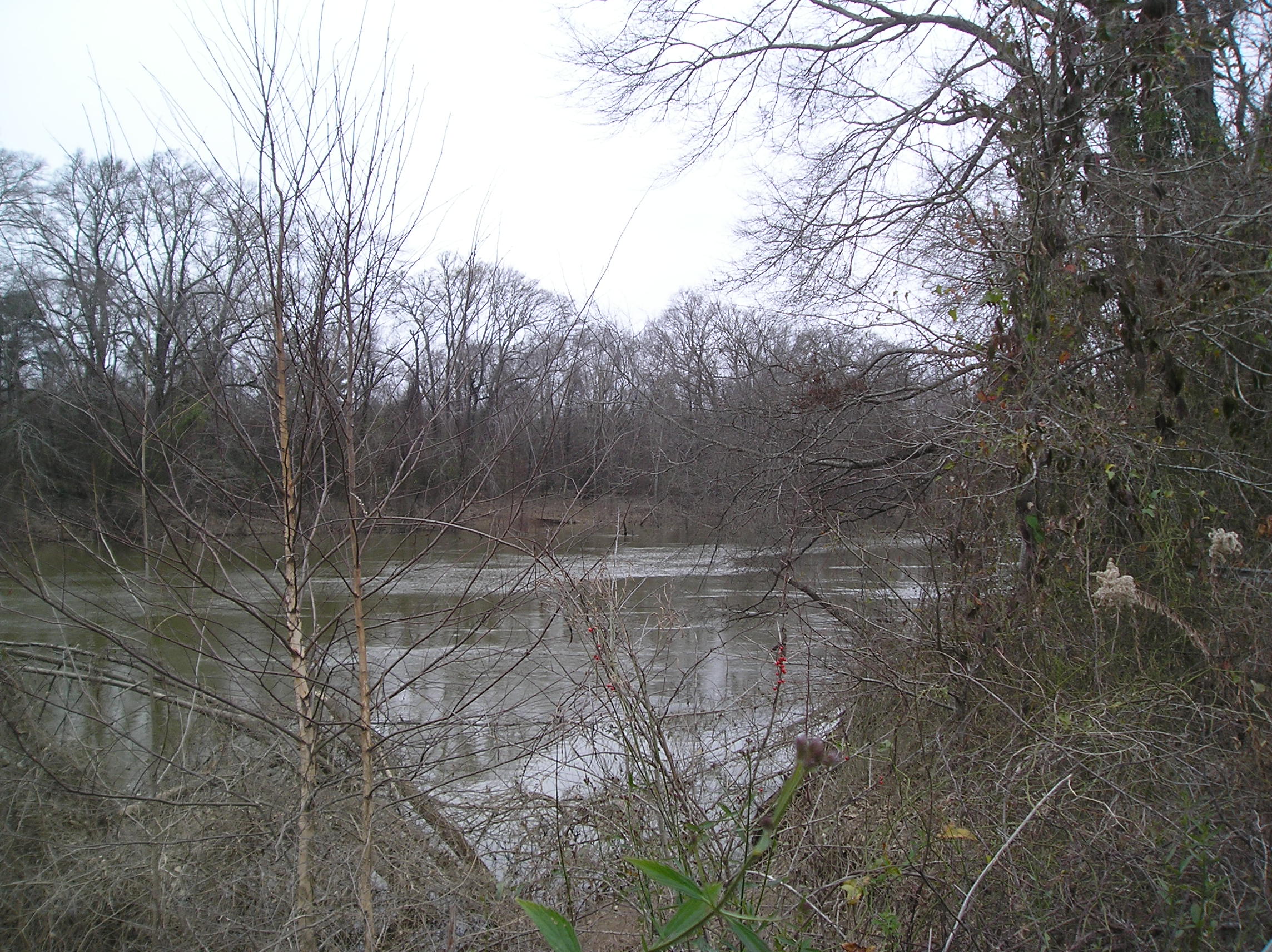
The Ouachita River at Camden was too wide and too deep to ford. General Frederick Steele had brought his pontoon bridge with his army and had used it at Rockport in Hot Spring County, at Elkins' Ferry to cross from Clark into Hempstead County---now Nevada County and would use it in Camden and again at Jenkins' Ferry as his army rushed to return to Little Rock. At the time of the Civil War, traffic over the Ouachita used ferries. A ferry was not practical for an army with thousands of men including cavalry with many horses and hundreds of wagons pulled by mules. Upon fleeing Camden, the Union Army had a pontoon bridge. The Confederate Army did not have a pontoon bridge in Camden and would have to build a raft bridge which would delay them in their pursuit of the Union troops.
Photo by Peggy Lloyd
Union Army Pontoon Bridge Marker
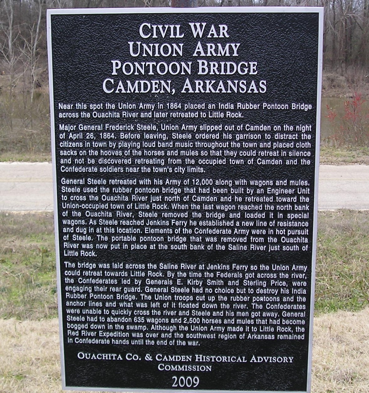
Near this spot the Union Army in 1864 placed an India Rubber Pontoon Bridge across the Ouachita River and later retreated to Little Rock.
Major General Frederick Steele,[sic] Union Army slipped out of Camden on the night of April 26, 1864. Before leaving, Steele ordered his garrison to distract the citizens of town by playing loud band music throughout the town and placed cloth sacks on the hooves of the horses and mules so they could retreat in silence and not be discovered retreating from the occupied town of Camden and the Confederate soldiers near the town's city limits. General Steele retreated with his Army of 12,000 along with wagons and mules. Steele used the rubber pontoon bridge that had been built by an Engineer Unit to cross the Ouachita River just north of Camden and he retreated toward the Union-occupied town of Little Rock. When the last wagon reached the north bank of the Ouachita River, Steel removed the bridge and loaded it in special wagons. As Steele reached Jenkins Ferry he established a new line of resistance and dug in at this location. Elements of the Confederate Army were in hot pursuit of Steele. The portable pontoon bridge that was removed from the Ouachita River was now put in place at the south bank of the Saline River just south of Little Rock. The bridge was laid across the Saline River at Jenkins Ferry so the Union Army could retreat towards Little Rock. By the time the Federals got across the river, the Confederates led by Generals E. Kirby Smith and Sterling Price, were engaging their rear guard. General Steele had no choice but to destroy his India Rubber Pontoon Bridge. The Union troops cut up the rubber pontoons and the anchor lines and what was left of it floated down the river. The Confederates were unable to quickly cross the river and Steele and his men got away. General Steele had to abandon 635 wagons and 2,500 horses and mules that had become bogged down in the swamp. Although the Union Army made it to Little Rock, the Red River Expedition was over and the southwest region of Arkansas remained in Confederate hands until the end of the war.
Ouachita Co. & Camden Historical Advisory Commission
2009.
The marker discusses Steele's use of his pontoon bridge at Camden and at Jenkins' Ferry. The importance of the pontoon bridge cannot be overemphasized. Without the pontoon bridge, Steele would probably have lost his entire force. The Marks' Mills point of interest and the Princeton point of interest will give more details on the circumstances leading to Steele's decision to leave Camden and on his journey from Camden to Princeton and into the Saline Bottoms.
Redoubt A - Fort Lookout Marker
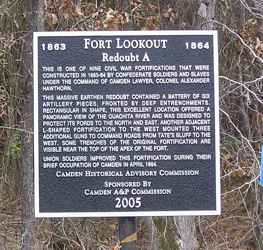
This is one of nine Civil War fortifications that were constructed in 1863-64 by Confederate soldiers and slaves under the command of Camden lawyer, Colonel Alexander Hawthorn This massive earthen redoubt contained a battery of six artillery pieces, fronted by deep entrenchments. Rectangular in shape, this excellent location offered a panoramic view of the Ouachita River and was designed to protect its fords to the north and east. Another adjacent L-shaped fortification to the west mounted three additional guns to command roads from Tate's Bluff to the west. Some trenches of the original fortification are visible near the top of the apex of the fort.
Union soldiers improved this fortification during their brief occupation of Camden in April 1864. Camden Historical Advisory Commission. Sponsored By Camden A&P Commission 2005
Fort Lookout is one of nine redoubts in the vicinity and one of the five largest built in 1863 and 1864 to defend Camden. Massive and constructed on high ground by Confederate soldiers and slave labor, it has a panoramic view of the Ouachita River. With an artillery battery of six guns protected by deep entrenchments, its purpose was to defend the river fords to the north and east of Camden. Union soldiers also worked on it during their time in Camden. It is a National Historic Landmark. As noted above, it is on private property and is not accessible.
Photo by Peggy Lloyd
Redoubt B - Fort Pickett
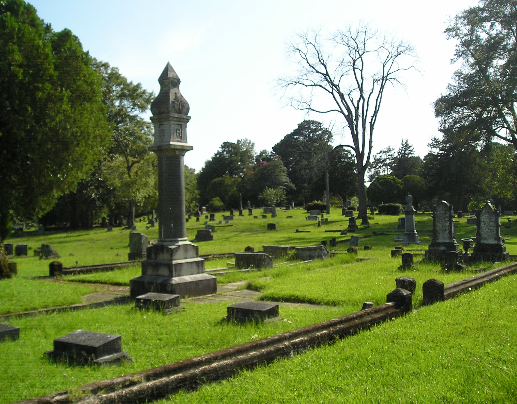
Little remains of Redoubt B except perhaps the knoll or slight rise in the center of Greenwood Cemetery.
Photo by Peggy Lloyd
Redoubt B - Fort Pickett - Marker

This is one of nine Civil War fortifications that were constructed in 1863-64 by Confederate soldiers and slaves under the command of Camden lawyer, Colonel Alexander Hawthorn.
Located along a ridge some one hundred yards south of the intersection of the junction of the Maul and Gravel Pit Roads, this v-shaped redan pointed to the northwest, and its four to six artillery pieces protected any approach into Camden from Tate's Bluff or from the Upper Washington Road.
While no traces of this fortification are visible today, its slightly elevated location in the middle of Greenwood Cemetery is evident when viewed from Maul Road.
There is some evidence to suggest that this site was named Fort Pickett.
Union soldiers improved this fortification during their brief occupation of Camden in April 1864.
Camden Historical Advisory Commission.
Sponsored By Camden A&P Commission
2005
Redoubt B's purpose was to protect Camden from enemies approaching from Tate's Bluff to the north or the Washington Road area to the west or northwest. Tate's Bluff was at the confluence of the Little Missouri and Ouachita Rivers and near the Clark County line.
Photo by Peggy Lloyd
Redoubt C - Fort Simmons
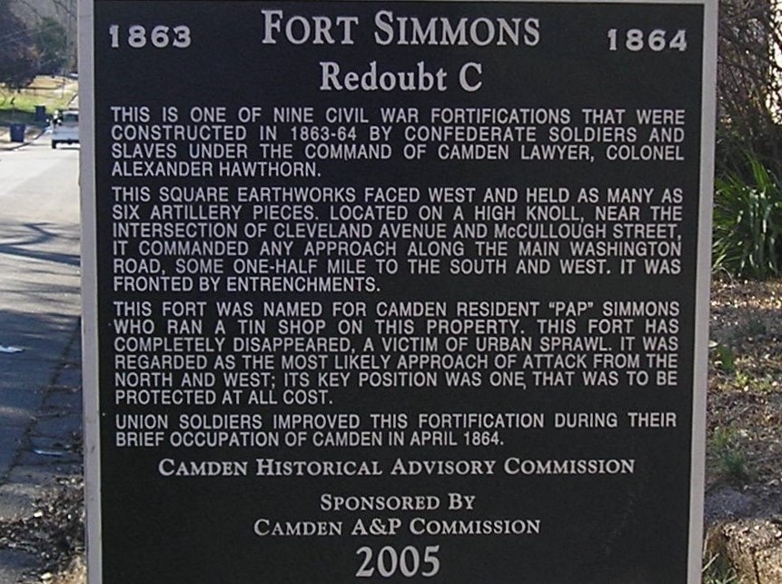
This is one of nine Civil War fortifications that were constructed in 1863-64 by Confederate soldiers and slaves under the command of Camden lawyer, Colonel Alexander Hawthorn.
This square earthworks faced west and held as many as six artillery pieces. Located on a high knoll, near the intersection of Cleveland Avenue and McCullough Street, it commanded any approach along the Main Washington Road, some one-half mile to the south and west. It was fronted by entrenchments.
This fort was named for Camden resident "Pap" Simmons who ran a tin shop on this property. This fort has completely disappeared. A victim of urban sprawl, it was regarded as the most likely approach of attack from the north and west; its key position was one, that was to be protected at all cost.
Union soldiers improved this fortification during their brief occupation of Camden in April 1864.
Camden Historical Advisory Commission. Sponsored By Camden A&P Commission 2005
Located in an older residential neighborhood, nothing remains of Redoubt C except the marker at the northwest corner of the intersection of Cleveland Avenue NW and McCullough Street NW. This redoubt was also known as Fort Simmons and was named for W. R. Simmons, a local tinsmith who lived nearby.
Photo by Peggy Lloyd
Oakland Cemetery
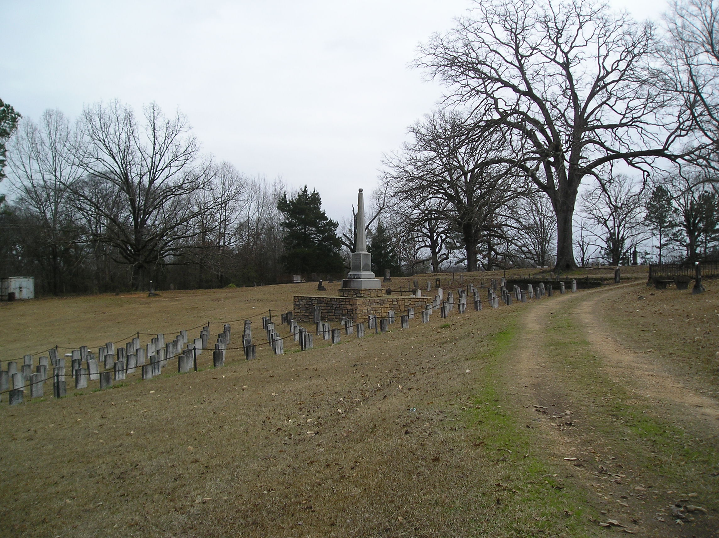
Oakland Cemetery and the Confederate Cemetery are located on the north side of Maul Road before it intersects North Adams. Oakland is the oldest cemetery in Camden. The Confederate Cemetery is the burial site of Confederate soldiers who died of disease or from combat. Both cemeteries are on the National Register of Historic Places.
Photo by Peggy Lloyd
First Kansas Colored Infantry Marker
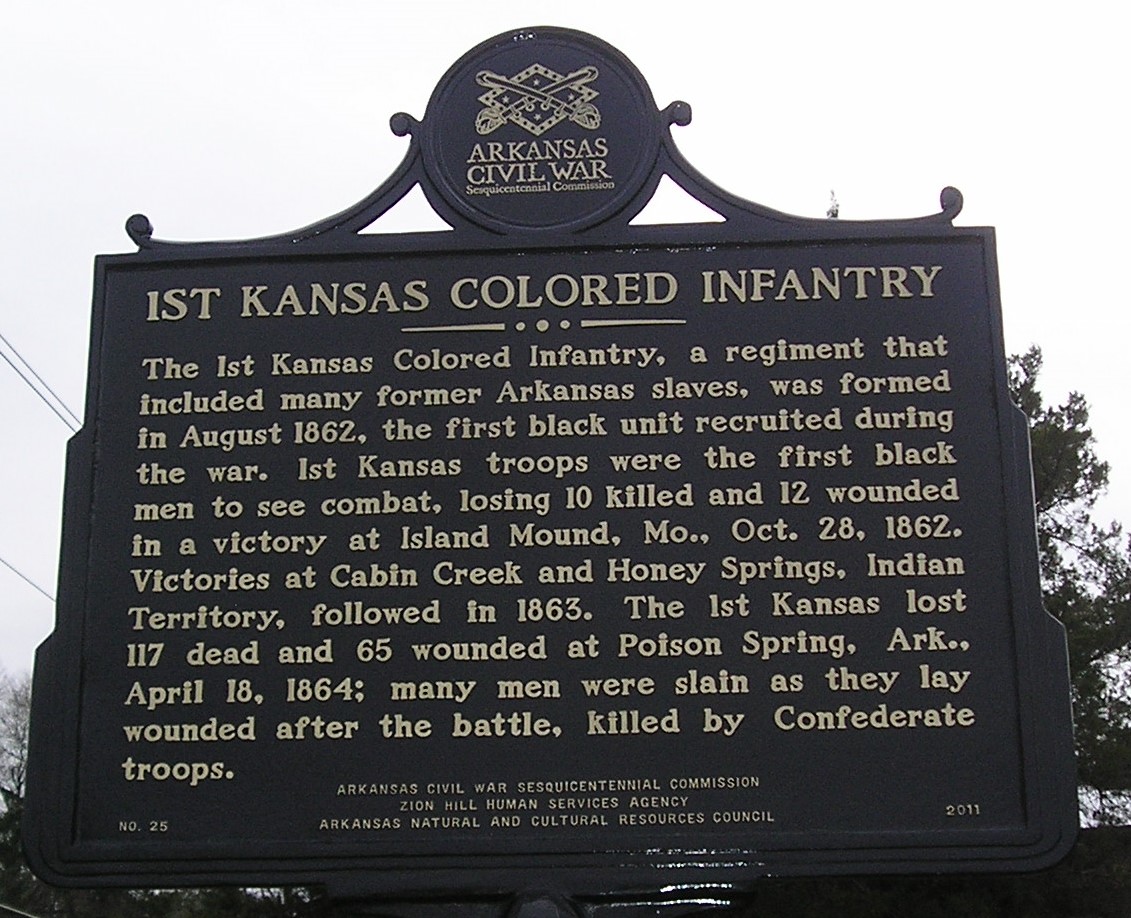
The 1st Kansas Colored Infantry, a regiment that included many former Arkansas slaves, was formed in August 1862, the first black unit recruited during the war. 1st Kansas troops were the first black men to see combat, losing 10 killed and 12 wounded in a victory at Island Mound, Mo., Oct. 28, 1862. Victories at Cabin Creek and Honey Springs, Indian Territory, followed in 1863. The 1st Kansas lost 117 dead and 65 wounded at Poison Spring, Ark., April 18, 1864; many men were slain as they lay wounded after the battle, killed by Confederate troops.
A Civil War Sesquicentennial marker stands opposite the cemeteries on Maul Road to commemorate the First Kansas Colored troops who died at Poison Spring. It is between the Zion Hill Baptist Church on Maul Rd. and the Williams Funeral Home on N. Adams.
Photo by Peggy Lloyd
Benjamin T. Powell House
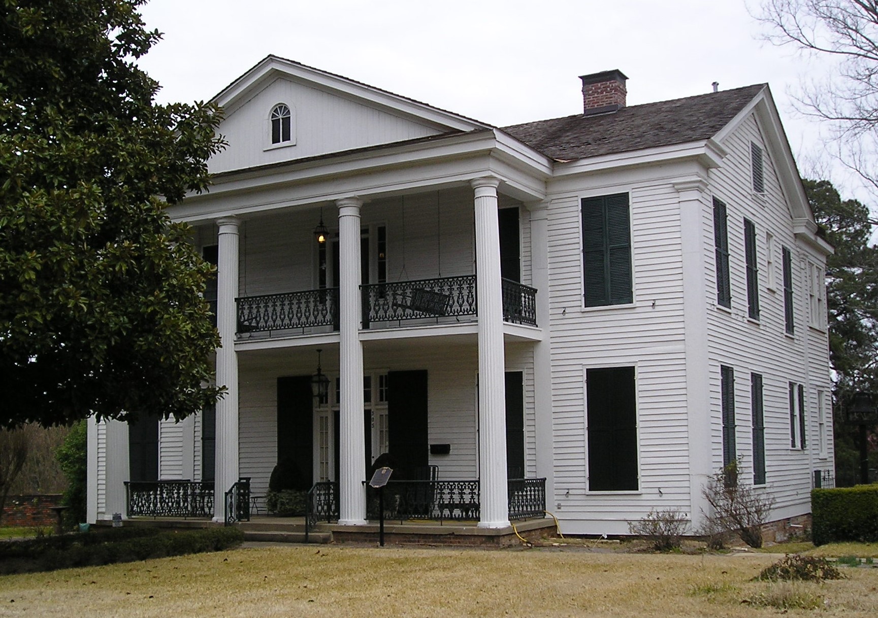
The Powell House was built in 1859 by Benjamin T. Powell, a prominent Camden cotton merchant. During the Camden Expedition, leading Union officers, notably Brig. General Samuel Rice, stayed in the house during their brief occupation of the city. Listed on the National Register of Historic Places in 1974, it was purchased by Dr. Fred Dietrich in 2000, restored and is used as a venue for public and private events.
Photo by Peggy Lloyd
Redoubt D - Fort Southerland
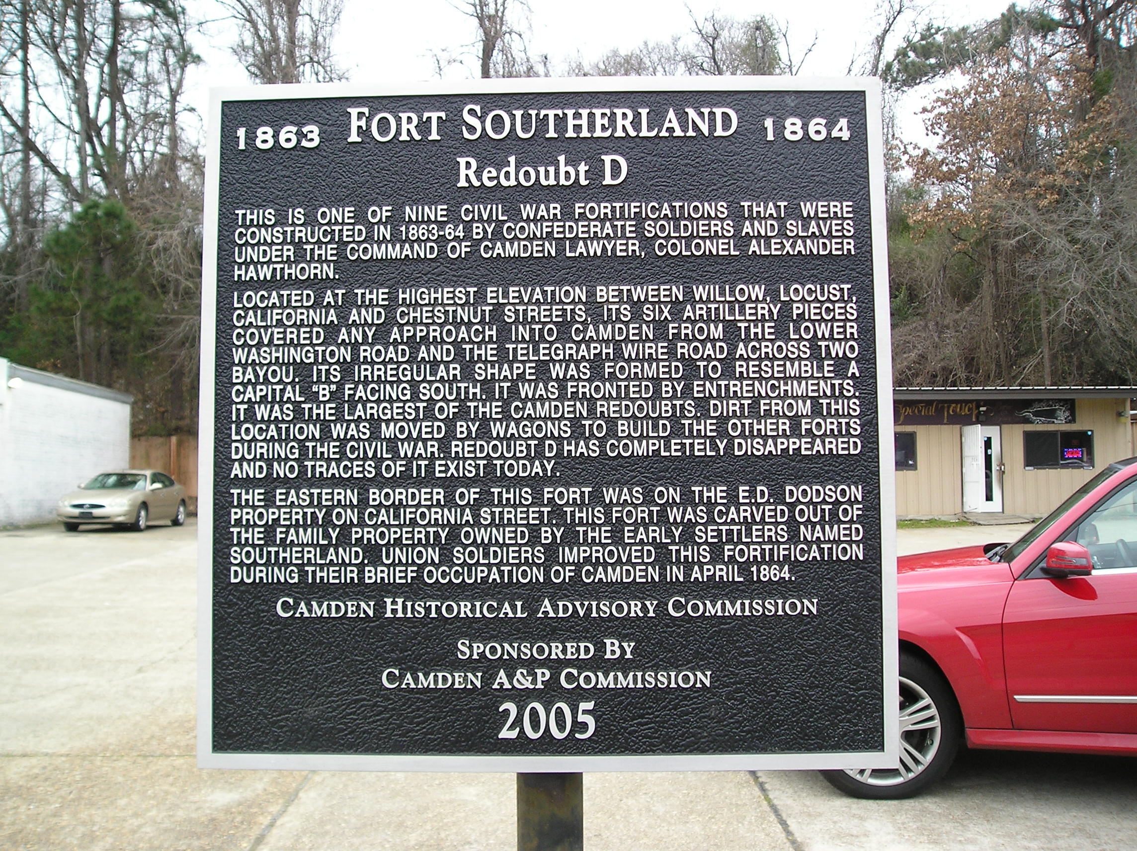
This is one of nine Civil War fortifications that were constructed in 1863-64 by Confederate soldiers and slaves under the command of Camden lawyer, Colonel Alexander Hawthorn.
Located at the highest elevation between Willow, Locust, California and Chestnut Streets, its six artillery pieces covered any approach into Camden from the Lower Washington Road and the Telegraph Wire Road across Two Bayou. Its irregular shape was formed to resemble a capital "B" facing south. It was fronted by entrenchments, it was the largest of the Camden redoubts. Dirt from this location was moved by wagons to build the other forts during the Civil War. Redoubt D has completely disappeared and no traces of it exist today.
The eastern border of this fort was on the E.D. Dodson property on California Street. This fort was carved out of the family property owned by the early settlers named Southerland. Union soldiers improved this fortification during their brief occupation of Camden in April 1864.
Camden Historical Advisory Commission
Sponsored By Camden A&P Commission
2005
Fort Southerland was another large defensive site in Civil War Camden and was Redoubt D of the five largest redoubts or earthworks. It was a located on the hill in the city block now between California Ave. SW on the east, Willow St. SW on the south, Locust St. on the west and Chestnut St. SW on the north. It was closer to the south side of Chestnut on the highest point of the hill. On the periphery of Camden at the time of the Civil War, it commanded views of the lower Washington Road and the Telegraph Road. It held six cannons and resembled a capital B looking south. Dirt from this area was used to build other redoubts. Today nothing remains of this largest one of the redoubts, and the site is on private property. It derived its name from the Southerland family who were early settlers in the area. The marker along the west side of California near the Walgreen's Pharmacy gives details.
Photo by Peggy Lloyd
Fort Diamond
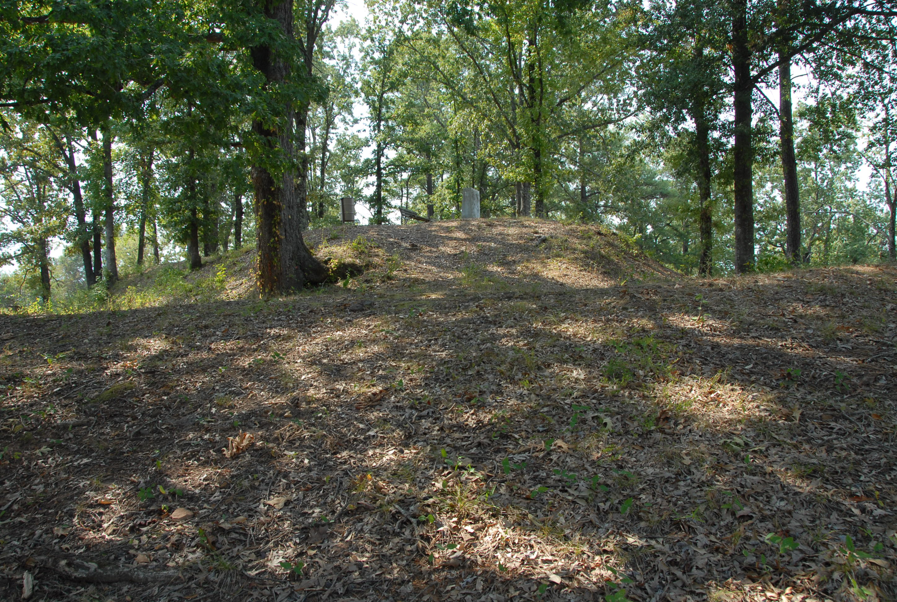
Fort Diamond is located atop a steep hill adjacent to Fort Southerland Park.
Redoubt E - Fort Diamond
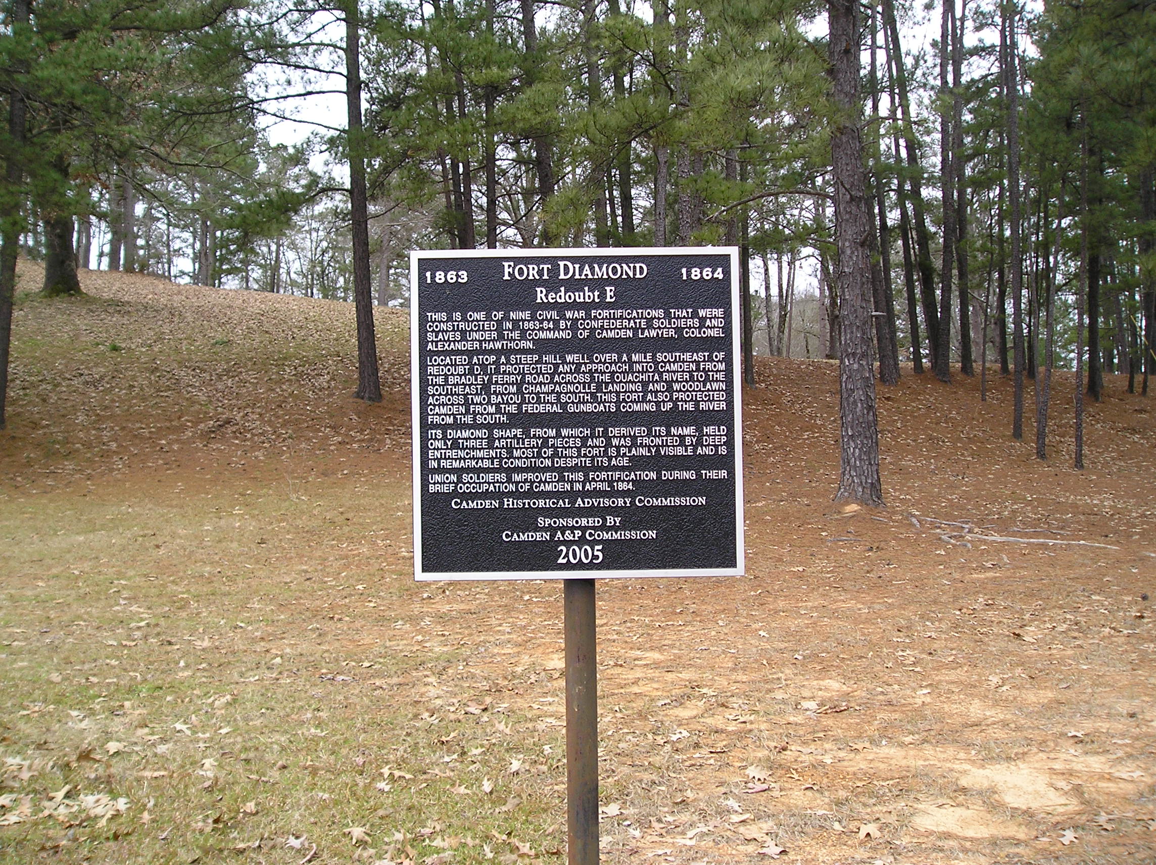
This is one of nine Civil War fortifications that were constructed in 1863-64 by Confederate soldiers and slaves under the command of Camden lawyer, Colonel Alexander Hawthorn.
Located atop a steep hill well over a mile southeast of Redoubt B, it protected any approach into Camden from the Bradley Ferry Road across the Ouachita River to the southeast, from Champagnolle Landing and Woodland across Two Bayou to the south. This fort also protected Camden from the federal gunboats coming up the river from the south.
Its diamond shape, from which it derived its name, held only three artillery pieces and was fronted by deep entrenchments. Most of this fort is plainly visible and is in remarkable condition despite its age.
Union soldiers improved this fortification during their brief occupation of Camden in April 1864.
Camden Historical Advisory Commission
Sponsored By Camden A&P Commission
2005
Redoubt E, known as Fort Diamond, is at this location and has retained its original shape and size. Built in 1863-64 to prevent an enemy advance from the east or south, the fortification was also used by Union forces during their short stay in Camden. Fort Southerland Park is a misnomer from earlier years that has remained. Fort Diamond or Redoubt E was mistaken for Fort Southerland or Redoubt D on nearby California Ave. The marker with details on the site is at the corner of Bradley Ferry Road and Progress St. The park has picnic tables and benches for visitors. The site is a Camden Expedition National Historic Landmark.
The Union Army's Time in Camden and its Conclusion
Upon arrival in Camden, General Steele had his engineers evaluate the redoubts the Confederate Army had built. The work had been done under the supervision of Brig. General Alexander T. Hawthorn, a Camden lawyer, and Steele's engineers found flaws. Union soldiers labored day and night during their brief stay in Camden to improve the defenses. They worked to connect the fortifications with trenches, dug rifle pits and cut down trees near the defenses that could conceal approaching enemy troops. When the Confederates re-took Camden, they continued this work, but the city would not see fighting again.
General Steele was relieved when a supply train arrived from Pine Bluff on April 20, 1864, shortly after the disaster at Poison Spring. With General Sterling Price's army in the surrounding countryside and the threat of General Kirby Smith's forces coming up into Arkansas, Steele hoped to get more supplies for his army in Camden from Union-occupied Pine Bluff. He sent out a wagon train with troops and a rearguard a few days later. The result was the disaster at the Battle of Marks' Mills in present-day Cleveland County on April 25 with the loss of all the wagons and some 1500 men---killed, wounded and taken prisoner. The lack of supplies, the number of enemy troops and the ferocity of the fighting motivated Steele to opt for saving his army. Using his pontoon bridge, Steele moved his remaining army across the Ouachita River near the site of the present-day Ben Laney Bridge under cover of darkness on April 26 and rushed to return to Little Rock.
General Steele was relieved when a supply train arrived from Pine Bluff on April 20, 1864, shortly after the disaster at Poison Spring. With General Sterling Price's army in the surrounding countryside and the threat of General Kirby Smith's forces coming up into Arkansas, Steele hoped to get more supplies for his army in Camden from Union-occupied Pine Bluff. He sent out a wagon train with troops and a rearguard a few days later. The result was the disaster at the Battle of Marks' Mills in present-day Cleveland County on April 25 with the loss of all the wagons and some 1500 men---killed, wounded and taken prisoner. The lack of supplies, the number of enemy troops and the ferocity of the fighting motivated Steele to opt for saving his army. Using his pontoon bridge, Steele moved his remaining army across the Ouachita River near the site of the present-day Ben Laney Bridge under cover of darkness on April 26 and rushed to return to Little Rock.
Up Next
This brings us ready to proceed toward the next point of interest, Marks' Mill.
